The Watch apps

Official warnings, on one map,
in your pocket.

Free apps that put every Australian agency's warnings side by side, exactly as issued, with what's near you first. Coming soon to iPhone, iPad and Android.

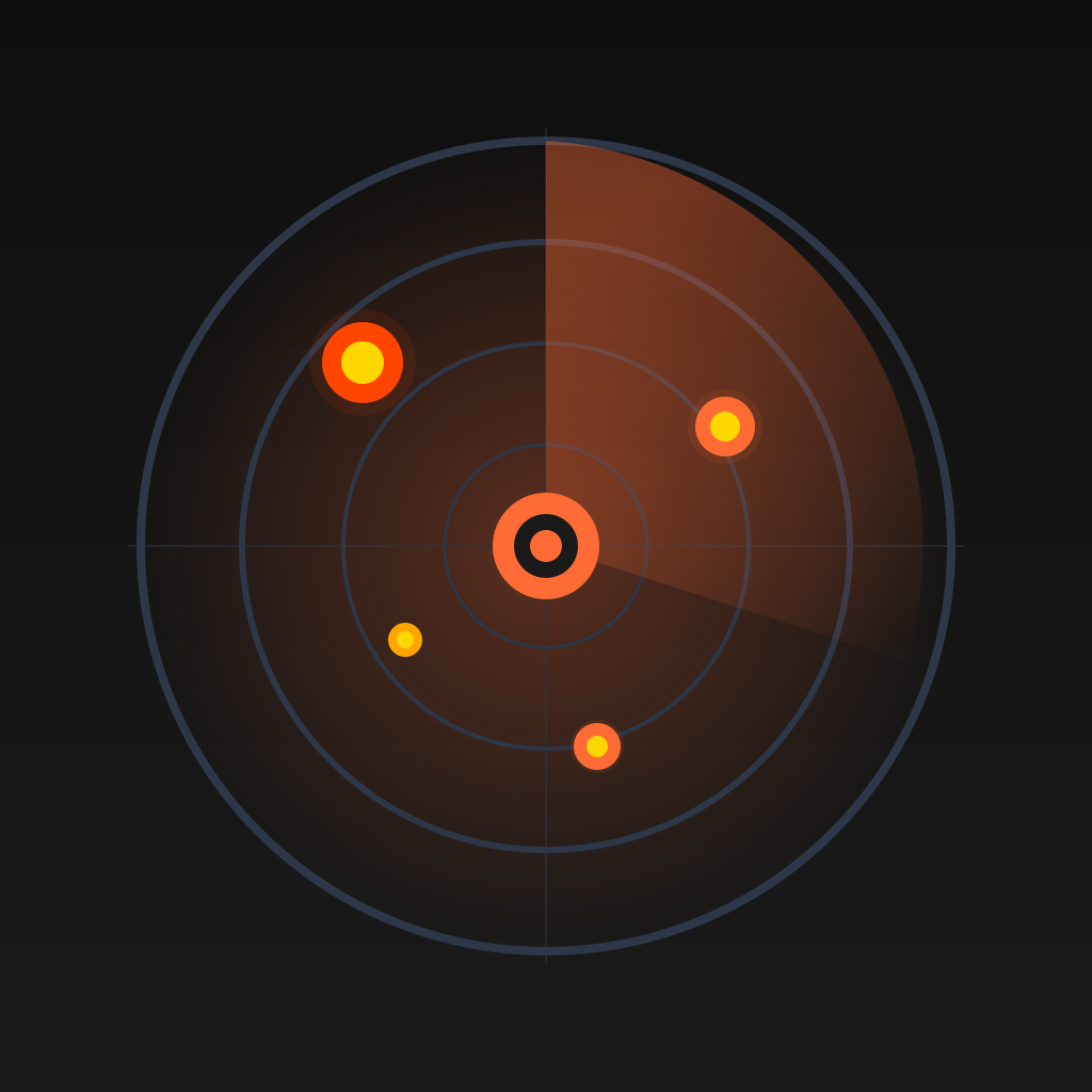
FireWatch AU

Every bushfire warning in Australia, on one map.

Coming soon toApp StoreComing soon toGoogle Play
  • Warnings exactly as issuedAdvice, Watch and Act and Emergency Warning appear only when an agency has issued them, with its own advice and when it was updated.
  • Every state, one mapNSW RFS, VicEmergency, Queensland Fire Department, SA CFS, TasALERT, ACT ESA, Emergency WA and NT PFES, side by side.
  • Fire danger and bansToday's Fire Danger Rating for every district, the days ahead, and each state's total fire bans.
  • Satellite heatHeat detected by satellites in the last 12 hours, coloured by how intensely it was burning.
  • Always know how currentEvery source says when it last updated. A feed that's down never looks like "no fires".
  • Everything around a fireRoad closures, power outages, air quality, planned burns, cameras, weather and more, layer by layer.
Try FireWatch on the web

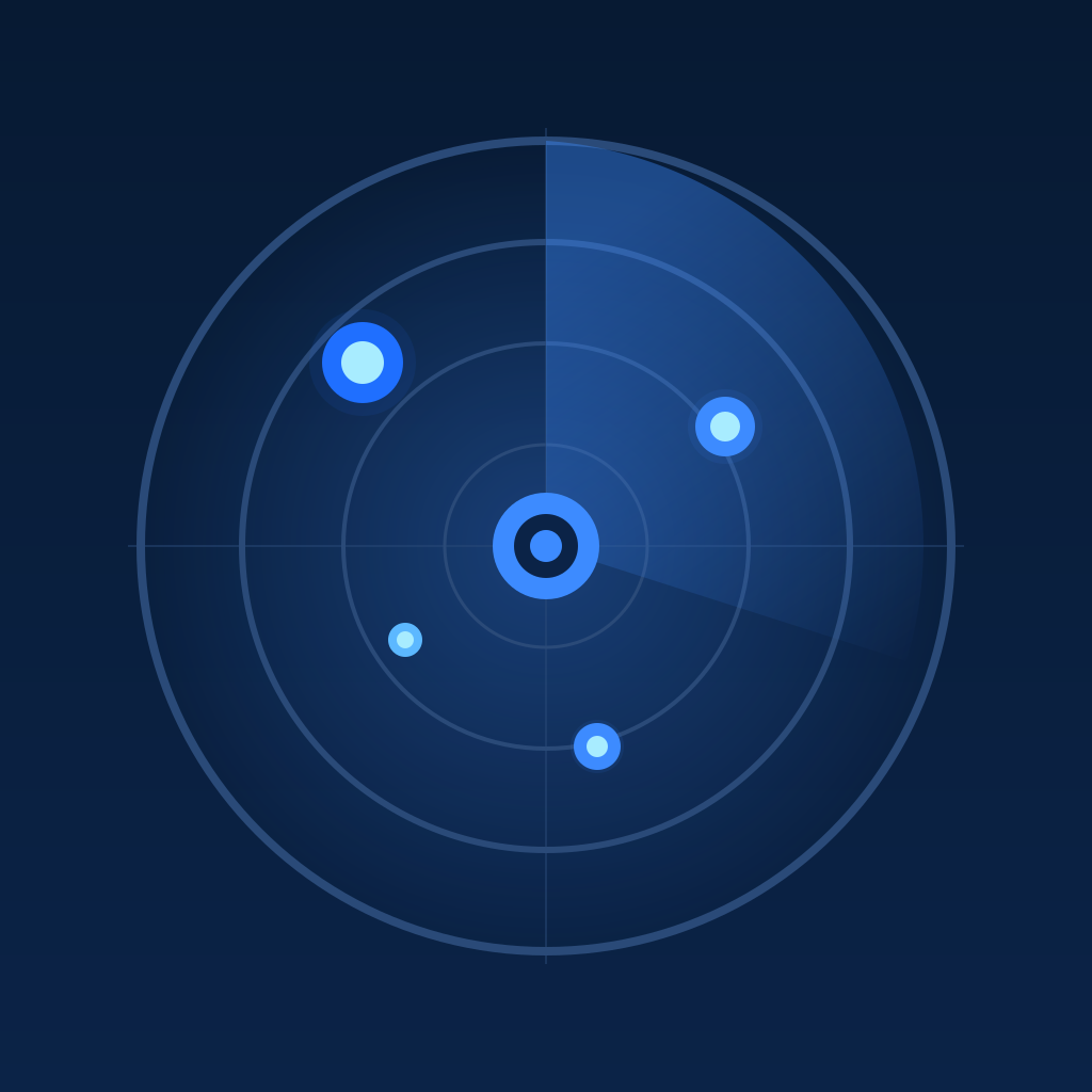
FloodWatch AU

Flood and storm warnings and river heights, on one map.

Coming soon toApp StoreComing soon toGoogle Play
  • Warnings as issuedFlood and storm warnings appear at the level the emergency services issued, with their own advice.
  • The Bureau's flood warningsFlood Watches and Warnings, cyclone, coastal hazard and tsunami warnings, in the Bureau's own words.
  • River heightsGauges across the country with the trend over the last hours and the flood class reached.
  • Rain and radarRain at the Bureau's gauges, the rain radar and the forecast, layer by layer.
  • Roads and powerFlooded roads, road closures and power outages near the warnings.
  • Always know how currentEvery source says when it last updated, and a feed that's down never looks like all clear.
FloodWatch on the web: coming soon

More in the app

The web map shows the same official data. The app adds what only a phone can do well.

What's near you, first

The first thing you see is an answer: the highest warning near you and how far away it is, or that there's none, with today's fire danger and any total fire ban.

Your places

Save home, work or family and see each one's warnings, fire danger and bans at a glance.

Even more layers

The Bureau's rain radar, weather heatmaps, burnt areas and the Satellite, Terrain and Weather maps, beside everything on the web.

Potential spread

With FireWatch Pro: an indicative estimate of where a fire could reach in the next few hours, from published Australian fire behaviour models.

Weather and radar

The Bureau's rain radar, and temperature, humidity, wind and rain heatmaps up to 7 days ahead.

Offline maps

Keep a map of the area you care about for when the network drops out.

Four more on the way

We're building more Watch apps on the same foundations. We're not saying what they watch yet.

In the lab
In the lab
Sketching
Sketching

Be first to know

One email when the apps are out on the App Store and Google Play. That's it.

Tell me about
On

We'll only use your email to tell you about the apps. No tracking, no lists sold. Reply any time to be removed.